3rd Grade · Social Studies
Map Grids and Coordinates
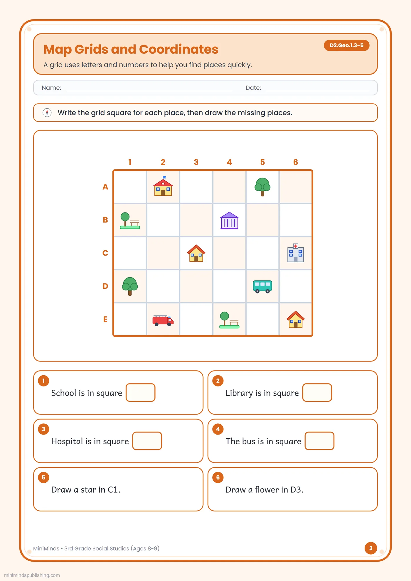
Free printable 3rd Grade social studies worksheet: Map Grids and Coordinates. It practices map grids (C3 D2.Geo.1.3-5). For ages 8-9. Download the PDF, print it, or fill it in online.
Fill in or color online- Grade
- 3rd Grade
- Subject
- Social Studies
- Skill
- Map grids
- Ages
- 8–9
- Standard
- D2.Geo.1.3-5
- Format
- A4 PDF · print or fill in online
About this worksheet
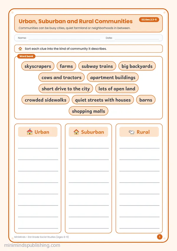
“Map Grids and Coordinates” is sheet 3 of 32 in our free 3rd Grade Social Studies Worksheets collection, written for children aged 8–9. It focuses on map grids.
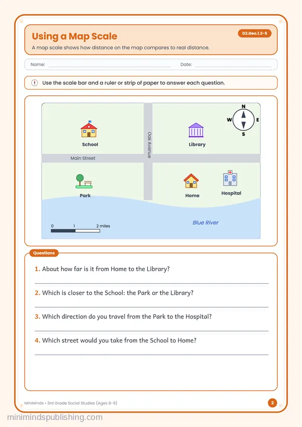
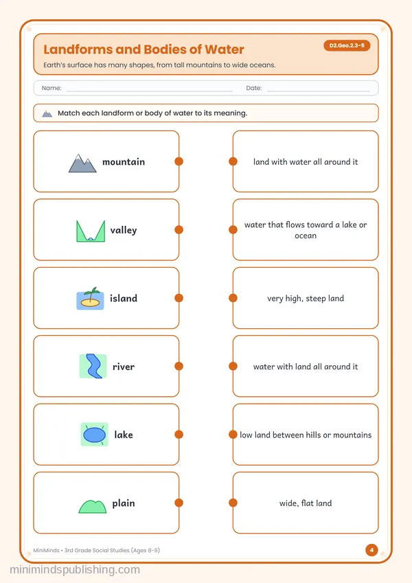
In the set it comes after “Using a Map Scale” and before “Landforms and Bodies of Water”. Working through them in that order, one sheet a day, builds the skill a step at a time.
What this worksheet practices
D2.Geo.1.3-5 · C3 Framework for Social Studies · Grades 3–5
Geography
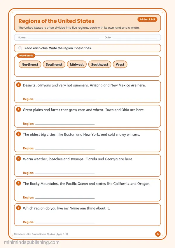
Children learn about maps, places and regions, and how people and environments shape each other.
How to use this worksheet
- 1
Use a real map of your town alongside the map scale and grid sheets. Finding your own street makes the skills matter.
- 2
Talk about a real choice your family made for the opportunity cost sheet — every choice gives something up.
- 3
For the timeline, add three events from your own family history on the back.